Note: click on the icons overlaying the map to get more details about that specific point.
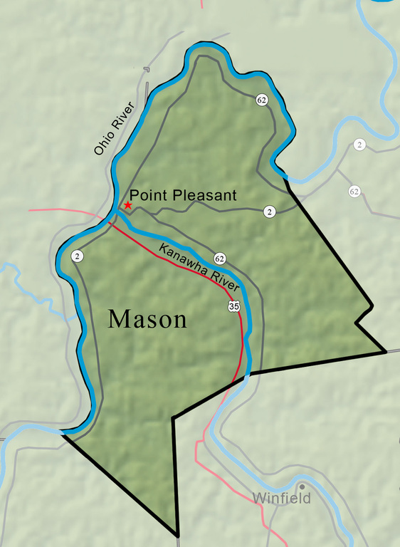


Mason County, created on January 2, 1804, from part of Kanawha County, is named for the statesman George Mason. The Ohio River forms the western boundary, and the Kanawha River divides the northern and southern parts of the county. Mason has long been a leading agricultural county, producing milk and livestock, corn, hay, tobacco, and orchard fruit.
West Virginia Humanities Council | 1310 Kanawha Blvd E | Charleston, WV 25301 Ph. 304-346-8500 | © 2024 All Rights Reserved
About e-WV | Our Sponsors | Help & Support | Contact Us The essential guide to the Mountain State can be yours today! Click here to order.

