Note: click on the icons overlaying the map to get more details about that specific point.
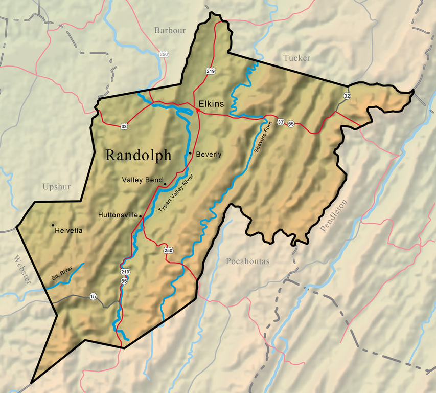


Randolph County, the largest county in West Virginia with an area of 1,040 square miles, is located at the western edge of the Potomac Highlands in east-central West Virginia. Its high, forested mountains, many of which exceed 4,000 feet, lie at the headwaters of the Cheat, Tygart Valley, Elk, and Potomac rivers.
West Virginia Humanities Council | 1310 Kanawha Blvd E | Charleston, WV 25301 Ph. 304-346-8500 | © 2024 All Rights Reserved
About e-WV | Our Sponsors | Help & Support | Contact Us The essential guide to the Mountain State can be yours today! Click here to order.

