Note: click on the icons overlaying the map to get more details about that specific point.
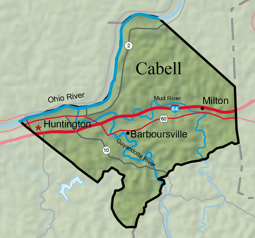


Named for William H. Cabell, governor of Virginia (1805–08), Cabell County was created by an act of the Virginia General Assembly on January 2, 1809, from part of Kanawha County. Cabell County lies along the Ohio River in southwestern West Virginia, encompassing an area of 288.1 square miles and an estimated population of 96,653 in 2011.
West Virginia Humanities Council | 1310 Kanawha Blvd E | Charleston, WV 25301 Ph. 304-346-8500 | © 2024 All Rights Reserved
About e-WV | Our Sponsors | Help & Support | Contact Us The essential guide to the Mountain State can be yours today! Click here to order.

