 | Back to e-WV
| Back to e-WV
| Back to e-WV
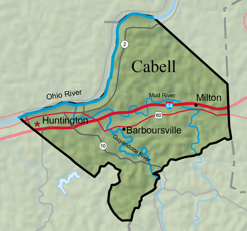


Named for William H. Cabell, governor of Virginia (1805–08), Cabell County was created by an act of the Virginia General Assembly on January 2, 1809, from part of Kanawha County. Cabell County lies along the Ohio River in southwestern West Virginia, encompassing an area of 288.1 square miles and an estimated population of 96,653 in 2011.
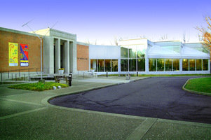
Huntington, the county seat of Cabell County, was founded in 1871 by railroad mogul Collis P. Huntington as the western terminus of his Chesapeake & Ohio Railway. Huntington is home to Marshall University, the state’s second largest college, and Mountwest Community and Technical College. The city is also home to the Huntington Museum of Art, the Memorial Arch, Ritter Park, and the Keith-Albee Theater.
Milton is home to Blenko Glass, which began operating in the town in 1921. The town hosts the annual Pumpkin Festival, which is held during the first full weekend in October.

Barboursville was chartered in 1813 and named for James Barbour, the governor of Virginia (1812–14).

The Ohio River begins at Pittsburgh, with the union of the Allegheny and Monongahela rivers. From there the Ohio travels 981 miles to Cairo, Illinois, where it joins the Mississippi.

The 45-mile-long Mud River empties into the Guyandotte River at Barboursville.
The Guyandotte River is formed by the junction of Winding Gulf and Stonecoal creeks in Raleigh County and flows in a northwesterly direction to its confluence with the Ohio River at Huntington.
Beech Fork State Park, located on the border of Cabell and Wayne counties, opened in 1979 after the U.S. Army Corps of Engineers created a lake by constructing Beech Fork Dam near Lavalette.
The Midland Trail is the national east-west automobile route constructed in the 1930s, designated as U.S. 60 and crossing the center of America from the Chesapeake Bay to the Pacific Ocean. In West Virginia, the Midland Trail was the first state-maintained highway.
Green Bottom Plantation was the home of Albert G. Jenkins, a U.S. and Confederate congressman and Confederate general. Also at Green Bottom is the Clover archeological site, a National Historic Landmark.
Marshall University traces its origins to a subscription school conducted for the children of local farmers in a small log church on the knoll where Old Main now stands. The school was founded in 1837. Trustees petitioned the General Assembly of Virginia to establish an academy, which was incorporated March 30, 1838, and named for Chief Justice John Marshall, who had recently died.
