Note: click on the icons overlaying the map to get more details about that specific point.
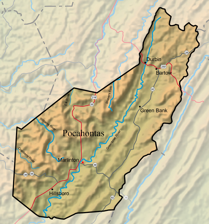


Pocahontas County is the third largest county in West Virginia, with 941.6 square miles, but among the least populous, with a 2010 population of 8,719. Eight rivers have their headwaters in the county. Elevations range from slightly under 2,000 feet to several points above 4,800 feet. Located mostly within the upper Greenbrier Valley, Pocahontas County is underlain by sandstone, shale, and limestone.
West Virginia Humanities Council | 1310 Kanawha Blvd E | Charleston, WV 25301 Ph. 304-346-8500 | © 2024 All Rights Reserved
About e-WV | Our Sponsors | Help & Support | Contact Us The essential guide to the Mountain State can be yours today! Click here to order.

