 | Back to e-WV
| Back to e-WV
| Back to e-WV
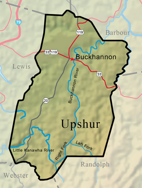


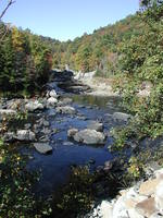
Upshur County was created on March 26, 1851, from parts of Randolph, Lewis, and Barbour counties, with Buckhannon as the county seat. Located in the north-central part of West Virginia, Upshur County is crossed by four-lane Corridor H (U.S. 33) and is within a few miles of Interstate 79. Mining, oil and gas, timbering, farming, and small industry are the major industries. The county rises from rolling foothills to mountains of more than 3,000 feet in the rugged southeastern section. The Buckhannon River is the major waterway, flowing north nearly the entire length of the county.
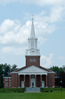
Buckhannon, the county seat of Upshur County, was established in 1816 and first chartered in 1852. Buckhannon is home to West Virginia Wesleyan College. The West Virginia Strawberry Festival is held each May at Buckhannon.
The Buckhannon River is the namesake of the city of Buckhannon and the principal waterway of Upshur County.
The Little Kanawha River enters the Ohio River at Parkersburg, 169 miles from its beginning near Craddock, Upshur County.
The West Virginia State Wildlife Center is a 334-acre zoological facility operated by the Division of Natural Resources.
From about 1764 to 1767, the brothers John and Samuel Pringle lived in the hollow cavity of a big sycamore tree near the confluence of Turkey Run and the Buckhannon River. A highway historic marker on U.S. 119 north of Buckhannon marks the location of the Pringle Tree. The current sycamore is supposedly the third generation of the famous Pringle Tree, said to have grown from the roots of the original.
Stonecoal Lake is well-known for its fishing, with smallmouth bass, muskellunge, walleye, crappie, sunfish, rainbow trout, golden trout, brown trout, and channel catfish.
The massive stone highways garage west of Buckhannon, a familiar landmark on U.S. 33, is part of a maintenance complex that covers more than 18 acres.