Note: click on the icons overlaying the map to get more details about that specific point.
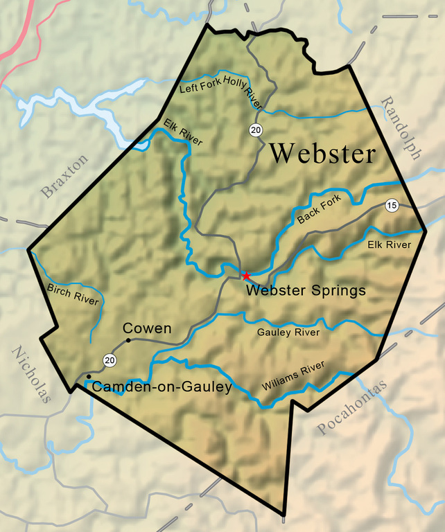


Webster County was created on January 10, 1860, from parts of Braxton, Nicholas, and Randolph counties. Named for Daniel Webster, the county occupies 556.2 square miles and is drained by the Elk, Gauley, Williams, Cranberry, Holly, and Little Kanawha rivers.
West Virginia Humanities Council | 1310 Kanawha Blvd E | Charleston, WV 25301 Ph. 304-346-8500 | © 2024 All Rights Reserved
About e-WV | Our Sponsors | Help & Support | Contact Us The essential guide to the Mountain State can be yours today! Click here to order.

