Note: click on the icons overlaying the map to get more details about that specific point.
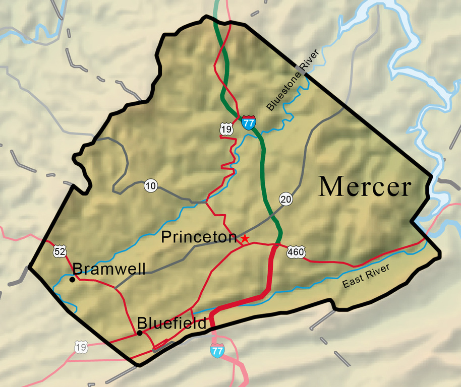


Drained by the New, Bluestone, and East rivers, Mercer County has the highest mean elevation of any of the state’s counties. Its most prominent topographic features are the towering edifice of East River Mountain to the south and the Bluestone Gorge to the northeast.
West Virginia Humanities Council | 1310 Kanawha Blvd E | Charleston, WV 25301 Ph. 304-346-8500 | © 2024 All Rights Reserved
About e-WV | Our Sponsors | Help & Support | Contact Us The essential guide to the Mountain State can be yours today! Click here to order.

