Note: click on the icons overlaying the map to get more details about that specific point.
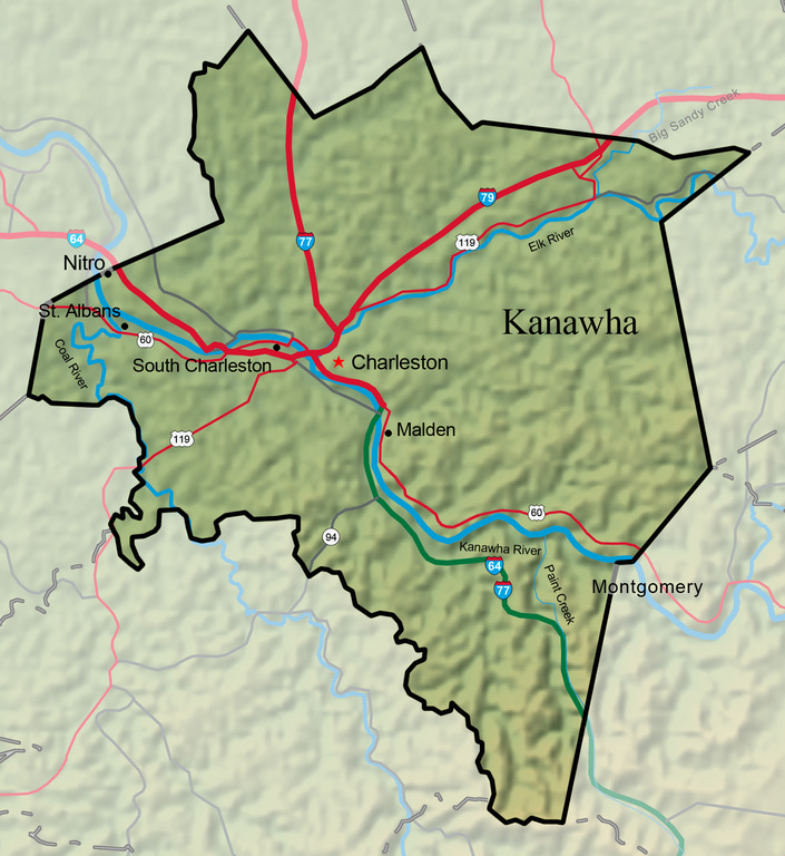


Kanawha County, named for the Kanawha River which flows through it, was created November 14, 1788. Initially 10 times its present size, the county remains West Virginia’s fourth largest, at 908.4 square miles.
West Virginia Humanities Council | 1310 Kanawha Blvd E | Charleston, WV 25301 Ph. 304-346-8500 | © 2024 All Rights Reserved
About e-WV | Our Sponsors | Help & Support | Contact Us The essential guide to the Mountain State can be yours today! Click here to order.

