 | Back to e-WV
| Back to e-WV
| Back to e-WV
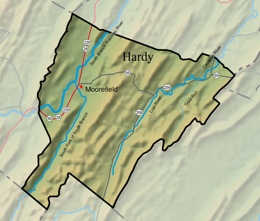


With an area of 584.6 square miles, Hardy County is divided by South Branch Mountain. Four rivers penetrate its boundaries. The rivers all flow north and eventually join the main Potomac River. Located in the Eastern Panhandle, Hardy County is bounded by Virginia on the east, Hampshire County on the north, Grant County on the west, and Pendleton County on the south.
Moorefield, the county seat of Hardy County, is the fourth-oldest town in West Virginia. The Moorefield Historic District was listed on the National Register of Historic Places in 1986. Moorefield is home to Eastern West Virginia Community and Technical College. The Battle of Moorefield took place on August 7, 1864.
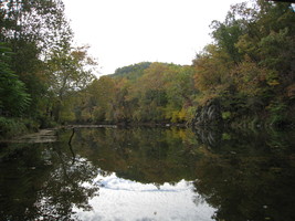
Trout Pond is the only natural lake in West Virginia. It is part of the Trout Pond Recreation Area in the George Washington National Forest. This two-acre body of water was created by springs that feed into one of the sinkholes that are common in the irregular limestone strata found in that part of the state.
The Cacapon River flows north-northeasterly for 112 miles through Hardy, Hampshire, and Morgan counties.
The South Branch of the Potomac River, with its two major tributaries, the North Fork and South Fork, drains all of Pendleton County and parts of Grant, Hardy, Hampshire, and Morgan counties.
The Lost River River and the Cacapon River are actually the same. The stream is known as the Lost River from where it originates in several springs near Brock’s Gap, south of Mathias, to where it disappears about four miles southwest of Wardensville. It flows in a northeasterly direction through the rich but narrow Lost River Valley, which includes Lost River State Park,
The Reymann Memorial Farm, located near Wardensville, is the largest of several experimental farms operated by West Virginia University. The property was donated as two separate farms in 1917 by members of the Reymann family, prominent Wheeling brewers and businessmen.
Lost River State Park is home to the Lee Cabin, built in 1804 by Henry ‘‘Lighthorse Harry’’ Lee, a Revolutionary War general and the father of Robert E. Lee. The wealthy Virginia family built the two-story log building as a summer retreat from the heat of their eastern Virginia home
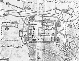
Fort Pleasant was built during the French and Indian War on Henry Van Meter’s farm at Old Fields to protect the local settlers from Indian raids.
The Trough is a narrow canyon where the South Branch of the Potomac River runs between Sawmill Ridge and River Ridge on the boundary of Hampshire and Hardy counties.