Note: click on the icons overlaying the map to get more details about that specific point.
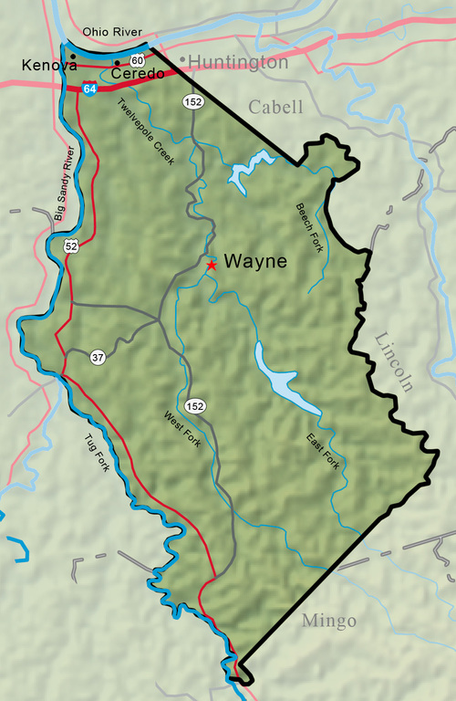


Wayne County was established January 18, 1842, from part of Cabell County. It was named for General ‘‘Mad Anthony’’ Wayne, a Revolutionary War hero who later defeated Ohio Indian tribes at the 1794 Battle of Fallen Timbers. Wayne County lies in the juncture of two of West Virginia’s major rivers, the Big Sandy and the Ohio.
West Virginia Humanities Council | 1310 Kanawha Blvd E | Charleston, WV 25301 Ph. 304-346-8500 | © 2024 All Rights Reserved
About e-WV | Our Sponsors | Help & Support | Contact Us The essential guide to the Mountain State can be yours today! Click here to order.

