Note: click on the icons overlaying the map to get more details about that specific point.
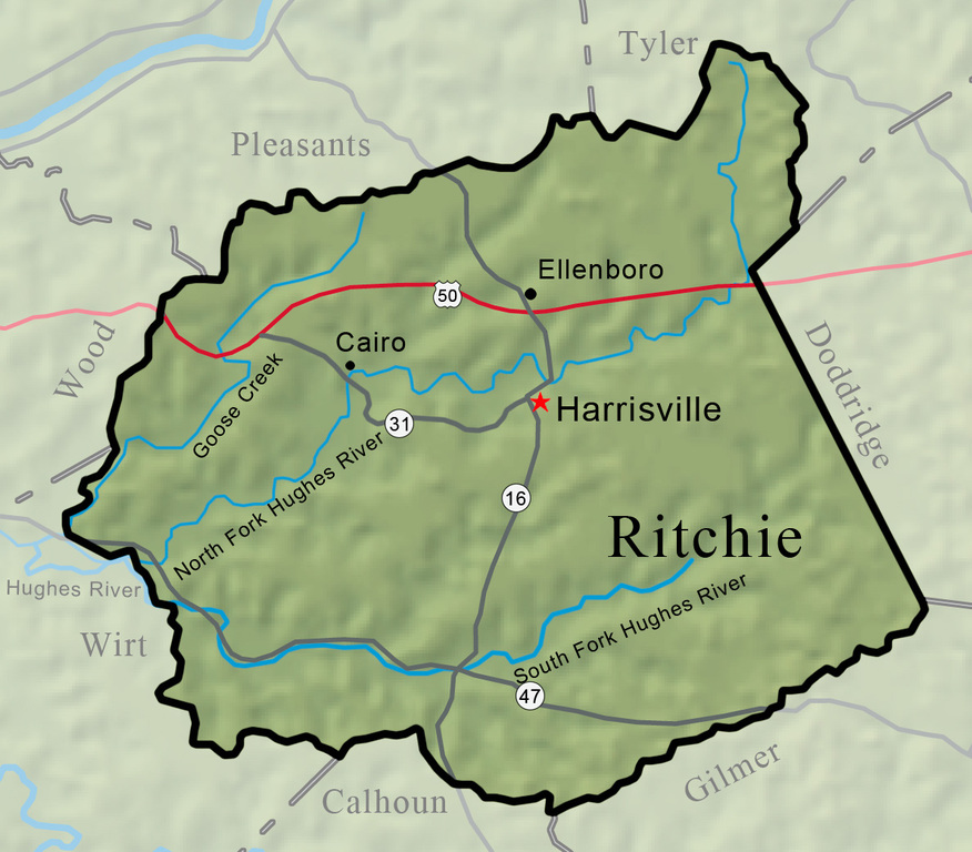


Ritchie County was carved out of portions of Wood, Lewis, and Harrison counties on February 18, 1843. The county is drained by two forks of the Hughes River and by numerous creeks, including 30-mile-long Goose Creek. There are many narrow but fertile valleys and gentle uplands suitable for livestock raising and the county’s generally small farms.
West Virginia Humanities Council | 1310 Kanawha Blvd E | Charleston, WV 25301 Ph. 304-346-8500 | © 2024 All Rights Reserved
About e-WV | Our Sponsors | Help & Support | Contact Us The essential guide to the Mountain State can be yours today! Click here to order.

