Note: click on the icons overlaying the map to get more details about that specific point.
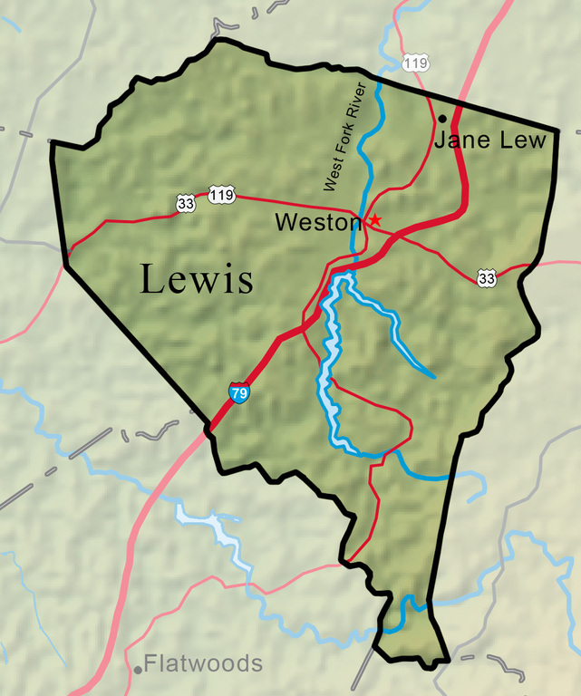


Lewis County, located in north-central West Virginia at the crossroads of Interstate 79 and U.S. 33, was created from part of Harrison County on December 18, 1816. Named for Col. Charles Lewis, killed in the Battle of Point Pleasant, it was a huge territory from which were later formed all or part of six other counties.
West Virginia Humanities Council | 1310 Kanawha Blvd E | Charleston, WV 25301 Ph. 304-346-8500 | © 2024 All Rights Reserved
About e-WV | Our Sponsors | Help & Support | Contact Us The essential guide to the Mountain State can be yours today! Click here to order.

